INDEPENDENT STATE OF PAPUA NEW GUINEA
Background
Papua New Guinea comprises about 600 small islands and has some 5,150 km of coastline. While there are more than 800 indigenous languages, thought to be more than any other country in the world, only 13 per cent of her people live in urban areas.
Key facts
Joined Commonwealth: 1975
Population: 7,321,000 (2013)
GDP: 1.9% p.a. 1990–2013
UN HDI: world ranking 157
Official language: English, Pidgin & Motu
Timezone: GMT plus 10hr
Currency: Kina (K)
Geography
Area: 462,840 sq km
Coastline: 5,150km
Capital city: Port Moresby
Population density (per sq. km): 16
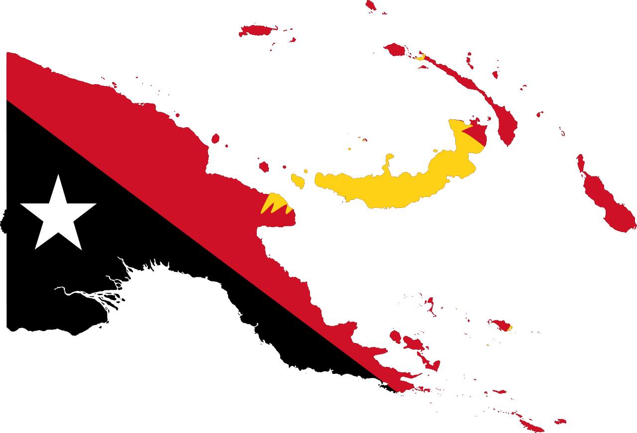
The Independent State of Papua New Guinea in the South Pacific shares a land-border with Indonesia while its other neighbours are Australia to the south and Solomon Islands to the east. PNG includes the eastern half of the world’s second biggest island, New Guinea, bordering the Indonesian province of Irian Jaya to the west. The rest of the country comprises 600 small islands, the chief of which are the Bismarck Archipelago, the Trobriands, the Louisiade Archipelago, the D’Entrecasteaux Islands, and some of the islands in the Solomons group, including Bougainville.
The country consists of 22 provinces including the National Capital District (greater Port Moresby) and the Autonomous Region of Bougainville.
Main towns
Port Moresby (capital, pop. 364,125 in 2011), Lae (Morobe, 155,000), Arawa (on Bougainville, 38,600), Mount Hagen (Western Highlands, 29,176), Madang (Madang, 29,100), Wewak (East Sepik, 27,031), Goroka (Eastern Highlands, 16,700), Kimbe (on New Britain, 16,004), Daru (Fly River, 14,373), Vanimo (Sandaun, 13,357), Alotau (Milne Bay, 12,628), Kundiawa (Simbu, 11,455), Popondetta (Oro, 10,200), Kavieng (on New Ireland, 9,900), Bulolo (Morobe, 9,850), Mendi (Southern Highlands, 8,500), Kokopo (on New Britain, 6,300), Wau (Morobe, 4,950) and Rabaul (on New Britain, 3,945).
Transportation
The rugged mountainous environment hampers the construction of PNG’s roads and the total national road network extends to 19,600 km, 3.5 per cent paved. Port Moresby is perhaps the only capital city not linked by road with the rest of the country there is no railway.
Principal ports are Alotau (on the southern tip of New Guinea), Port Moresby (on the south coast), and Lae, Madang and Wewak (on the north coast), Rabaul (in New Britain), Kieta (Bougainville) and Momote (Manus Island). As there are relatively few roads, river transport is important, for both freight and passengers, and particularly on the River Sepik.
The international airport is Port Moresby at Jackson Field, 11 km from the city while domestic air services run to all centres of population and industry.
Airports
While there are a number of airports in PNG, the main Port Moresby International Airport is located about 8 kilometres or 5 miles outside the capital city of Port Moresby. Not only is it the largest and busiest airport in PNG, it is also the hub for Air Niugini and Airlines PNG. The Port Moresby International Airport replaced the original Port Moresby airport.
International relations:
Papua New Guinea is a member of the African, Caribbean and Pacific (ACP) Group of States, Asia–Pacific Economic Cooperation, Non- Aligned Movement, Pacific Community, Pacific Islands Forum, United Nations and World Trade Organisation.
Topography:
A rugged mountainous ridge lies in the centre of the main island with a few wide valleys, and foothills north and south. The rivers Sepik and Ramu drain the foothills to the north, and the rivers Fly, Kikori and Purari those in the south. Many rivers are navigable, though fast-flowing. There are active volcanoes along the north coast, and some volcanoes and warm pools in the south-east islands.
Climate:
PNG boasts a tropical monsoon climate type, hot and humid all year, though somewhat cooler in the highlands. Rainfall is mostly chiefly from December to March and high mountains receive occasional frost and even snow at times.
Environment:
Rainforest deforestation, a result of growing commercial demand for tropical timber; mining projects pollution; and severe drought are the most significant environmental issues.
Vegetation:
PNG vegetation is rich and very varied: there are five different kinds of lowland, 13 kinds of mountain rainforest, five kinds of palm and swamp forests, three differing mangrove forests, and the world’s greatest variety of orchid species. Sixty three (63%) per cent of the land area is covered by forests, having declined at 0.5 per cent p.a. 1990 –2010. One per cent of land is comprised of arable land and while permanent cropland takes two per cent of the total land area.
Wildlife:
There are no large mammals in PNG but a rich variety of marsupials, reptiles and some 700 species of birds, including 38 species of the spectacular bird of paradise and related bower-birds exist. Papua New Guinea also has many thousands of unusual species of insect including the world’s largest species of butterfly, the Queen Alexandra birdwing, and brilliant green scarab beetles which are used for jewellery. Indigenous marsupials include tree kangaroos, wallabies, bandicoots, cuscus and spiny anteaters. Dugongs live in the waters near the coast. With the government being reluctant to interfere with traditional methods of land tenure, the creation of national parks was a gradual process, but there are now four national parks. Protection measures have been introduced, banning the export of birds of paradise. Some 39 mammal species and 32 bird species are thought to be endangered (2014).
Economy:
GNI: US$14.6bn
GNI PC: US$2,010
GDP Growth: 7.2% p.a. 2009–13
Inflation: 5.4% p.a. 2009–13
Development is still in its early stages and has been hampered by volatile prices for agricultural and mineral exports although the country is rich in mineral, agricultural, forestry and fisheries resources. In addition, the main population centres are separated by ocean or inhospitable terrain. GDP grew by 1.9 per cent p.a. 1980–90 and 3.8 per cent p.a. 1990–2000.
COVID-19
The Government of Papua New Guinea (PNG) through the National Department of Health (NDOH) has developed a preparedness and response plan that outlines the strategic components for managing a public health response to COVID-19. The plan considers priority actions to take in the event of community transmission. This plan is a live document that will be regularly updated based on the evolving situation and as more information is generated about the outbreak.
Constitution:
Status: Monarchy under Queen Elizabeth II
Legislature: National Parliament of Papua New Guinea
Independence: 16 September 1975
Papua New Guinea is a constitutional monarchy, recognising Queen Elizabeth II as head of state, represented by a Governor-General who is nominated by parliament and serves for a term of six years.
https://thecommonwealth.org/our-member-countries/papua-new-guinea
The Land of a Million Tribes!
One People, One Nation, One Country
God bless Papua New Guinea

